
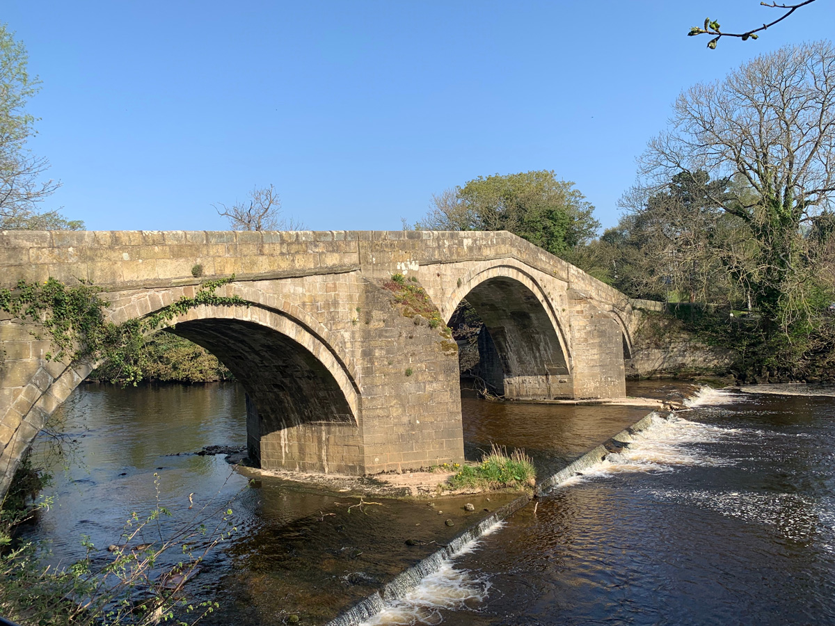
Burley Goit & Weir
WALK ROUTE
Circular walk
This is the perfect Sunday afternoon stroll walk for all the family that takes you from the village towards the river to the goit and weir and back into the village again. Wildlife (in particular herons) can be spotted by the weir and there are stepping stones across to the north bank that you could brave crossing too. However, please ensure they are safe to cross before doing so. Especially as there are some very deep pools near them. If you do cross them, we recommend only doing it in appropriate footwear and during mild weather.
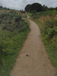
- Accessibility: Majority of the route is paved and even, unpaved, uneven path for only a short distance. There is a kissing gate at one point of the walk.
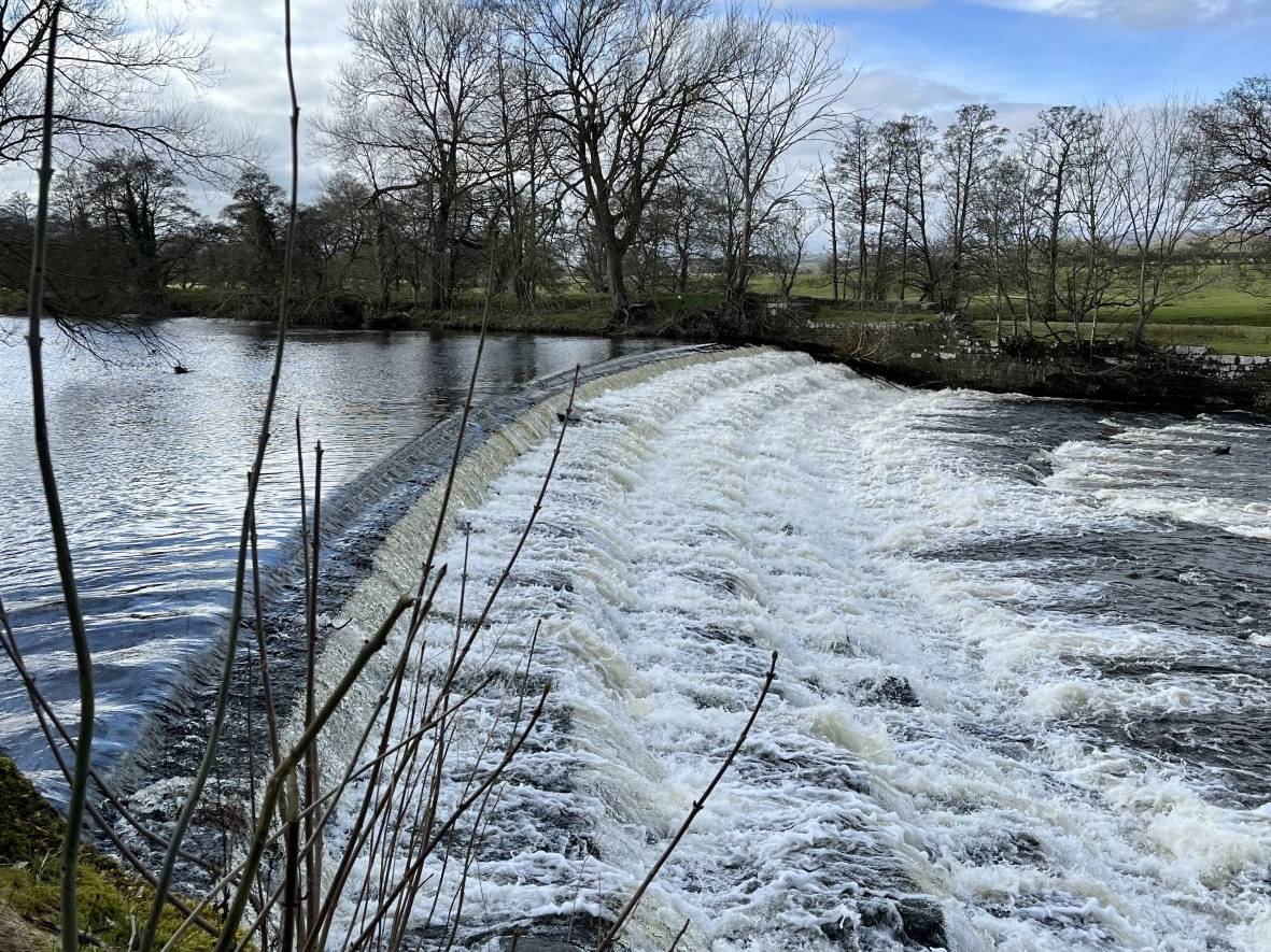
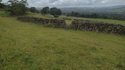
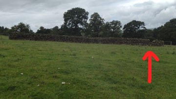
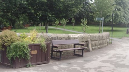
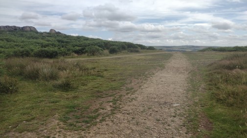
- Points of Interest: Burley village, recreation ground, Greenholme Mill, views of Burley moor, goit, weir, wildlife, views of Otley Chevin and Stepping Stones.
- Dog friendly
- Child friendly
- Walking boots recommended as part of the walk is uneven and can also be muddy.
- Refreshments: Cock Pit Farm Tea Rooms, The Red Lion Hotel, The Queens Head, Arlo and The Coffee Tree.
- Train station: Burley-in-Wharfedale train station is regularly served by trains from Ilkley, Bradford and Leeds, and is a 10 minute walk from the starting point at Queen's Hall.
- Parking: Queens Hall car park, 211 Main Street car park, on street parking in the village and Scalebor car park.
- Toilets: There is a public toilet at Queens Hall and in the refreshment stops.
Step-by-step guide: Burley Goit & Weir
Step 2
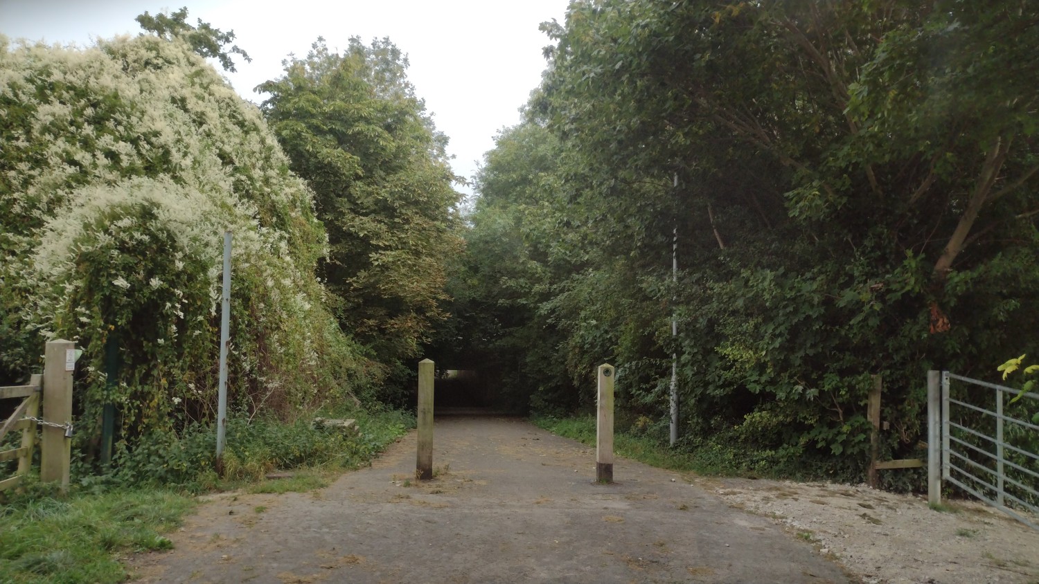
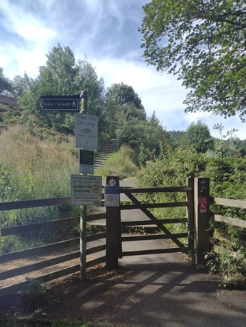
Continue past the houses and through the barriers to go under the bypass.
Step 3
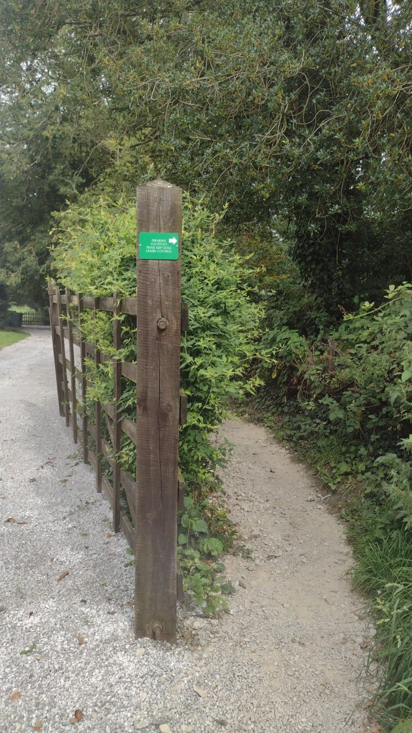
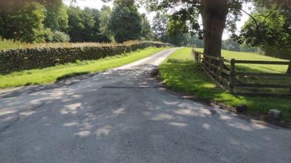
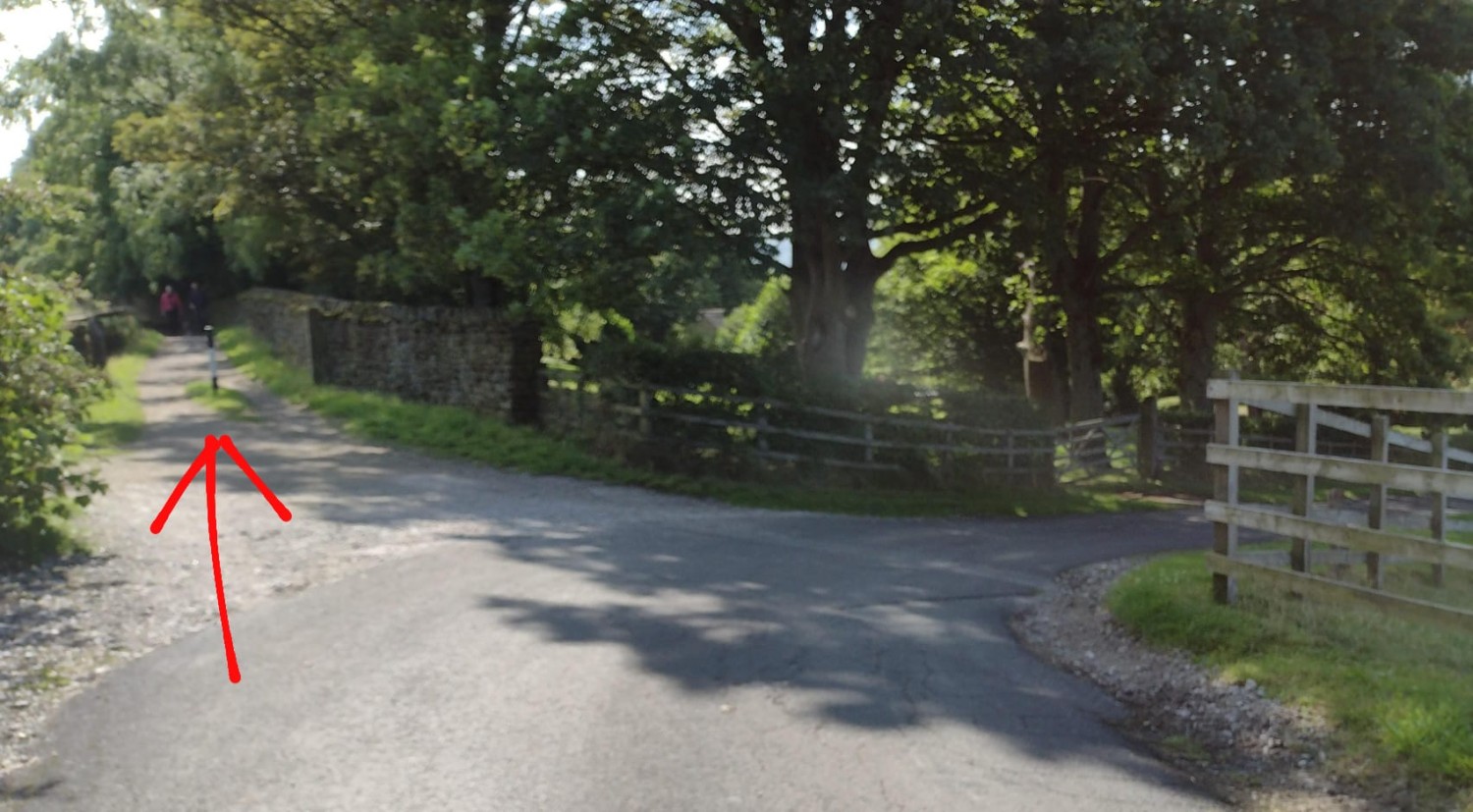
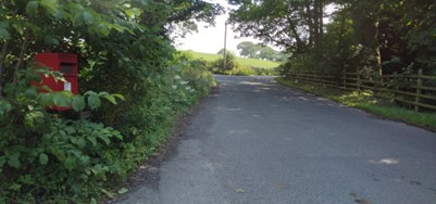
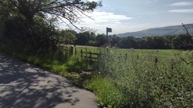
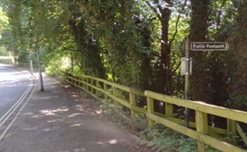
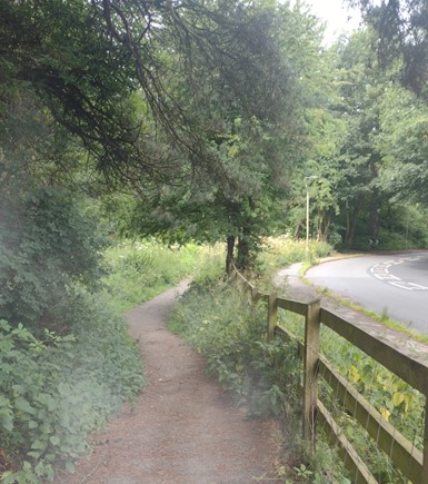
Turn left onto Great Pasture Lane, then look out for the green sign indicating the narrow footpath.
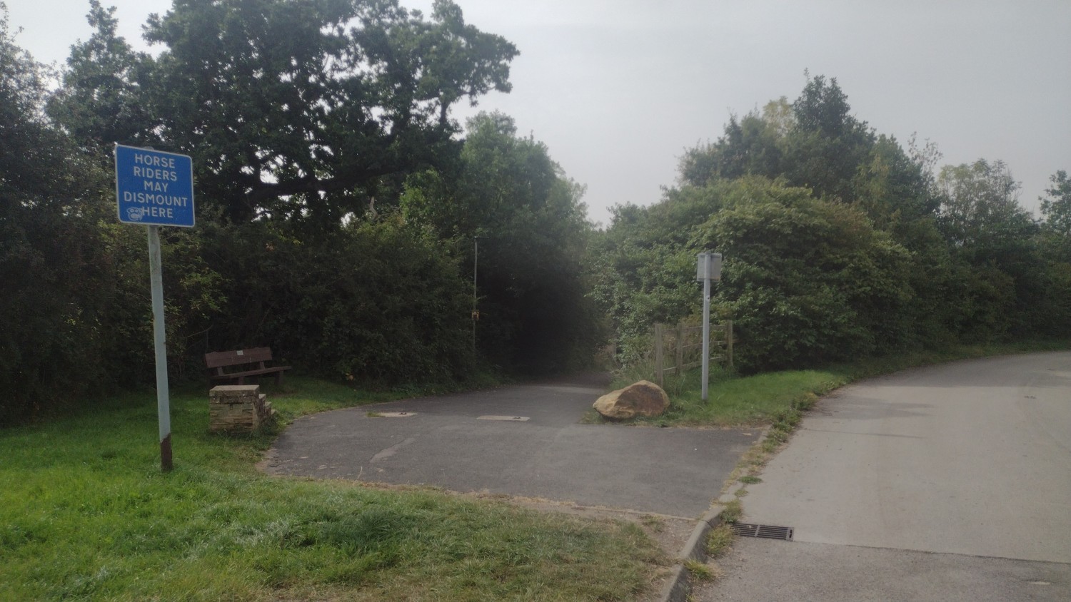
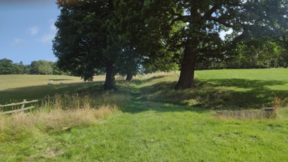
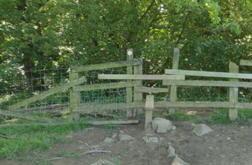
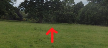
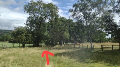
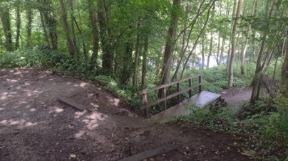
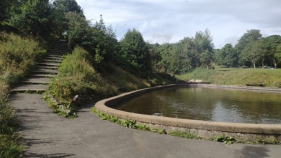
Step 5
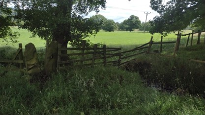
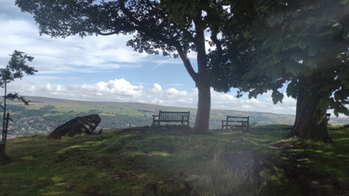
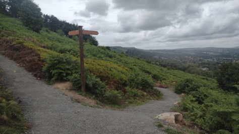
Once you reach a right hand turn, take a moment to have a look at the weir, you can climb up onto a viewing platform for a better view, before you go back and rejoin the path in the same direction.

Step 6
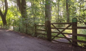
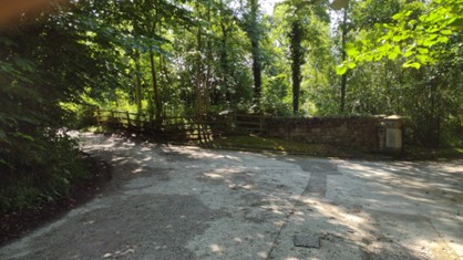
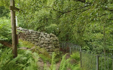
Continue past a green metal gateway and a converted church.
Step 7
Take the path to the left to pass under the bypass again.
Calvary and Middleton Woods

WALK ROUTE
Circular walk
A beautiful walk taking in Middleton Woods and the ethereal Calvary. You will start along the Ilkley riverside up through woods to the Calvary and then through the stunning Middleton Woods (an absolute must in April when the bluebells come out), you’ll then come out near the Ilkley Lido and go back along the river to your starting point. A suitable walk for a casual walker who likes variety.
- Accessibility: A mix of paved and unpaved paths. The route takes you through woods that have uneven surfaces. Not suitable for wheelchair users and pushchairs.
- Points of Interest: Riverside gardens & playground, Calvary, Monastery, Middleton woods, Ilkley lido, cricket ground and skatepark.
- Dog friendly
- Child friendly
- Refreshments: Riverside hotel, ice cream van near the nursery
- Parking: Ilkley town centre car park, New Brook St bridge parking, and riverside car park.
- Toilets: Public toilets by the Riverside Hotel.
Step-by-step guide: West Ilkley Walk
Step 1
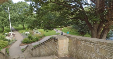
Starting from New Brook Street just uphill from the bridge, take the steps down to Riverside Park and head towards the playground with the river on your right.
Step 3
Once over the river, turn left to follow the path, now with the river on your left.
Step 4
Keep following the path until it brings you to the junction of Nesfield Road and Hardings Lane. Go up the hill up Hardings Lane, then immediately left on to Owler Park Road.
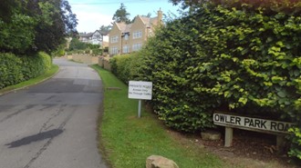
Step 5
At the point where Owler Park Road turns to the right, go through a gap in the wall on the left at the end of a high hedge, and take the track down through the woods.
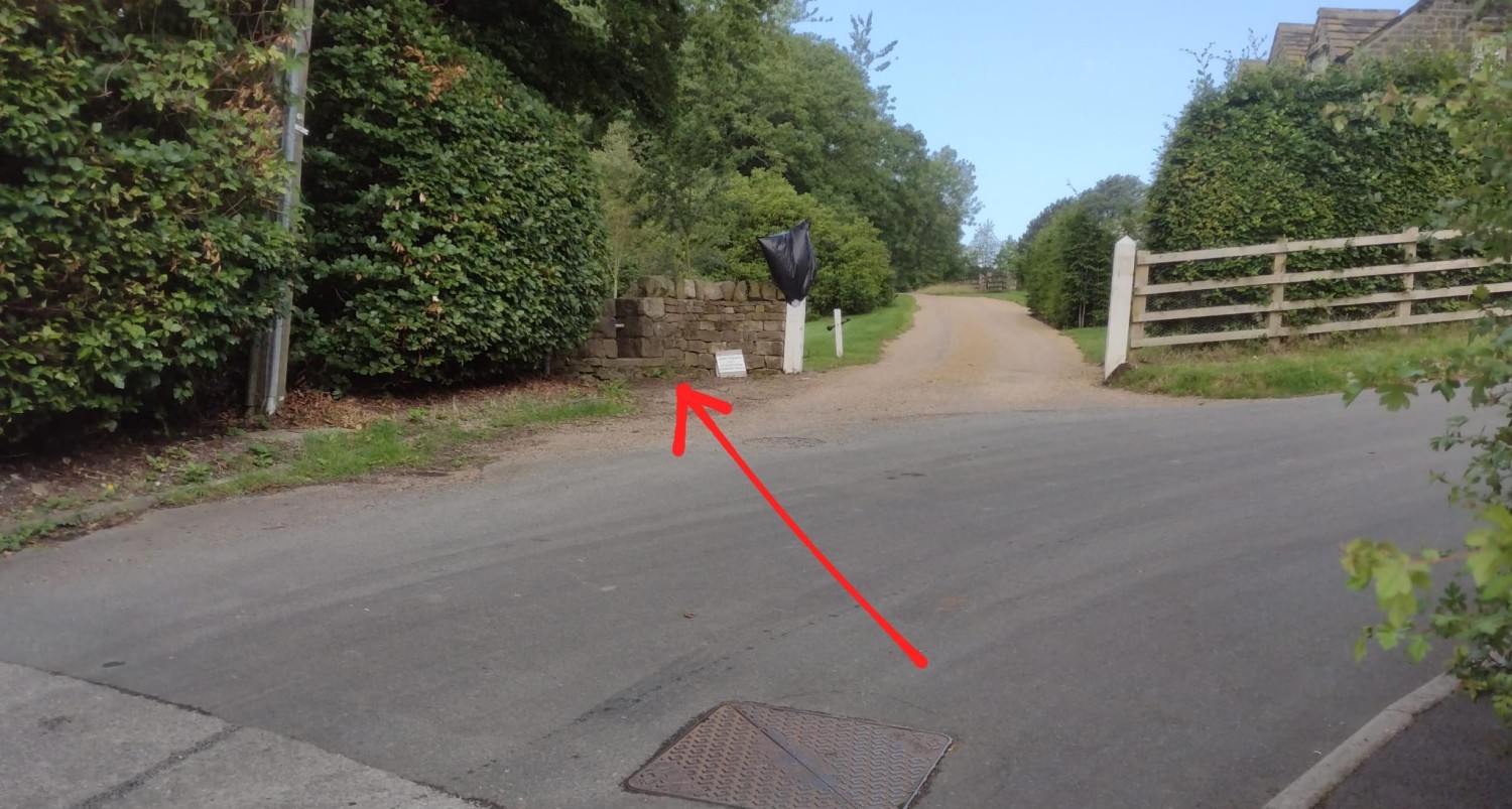
Step 6
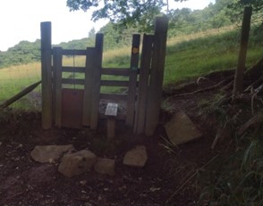
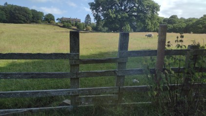
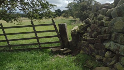
Stay on the track until you reach a stile, go over this and straight in through the field.
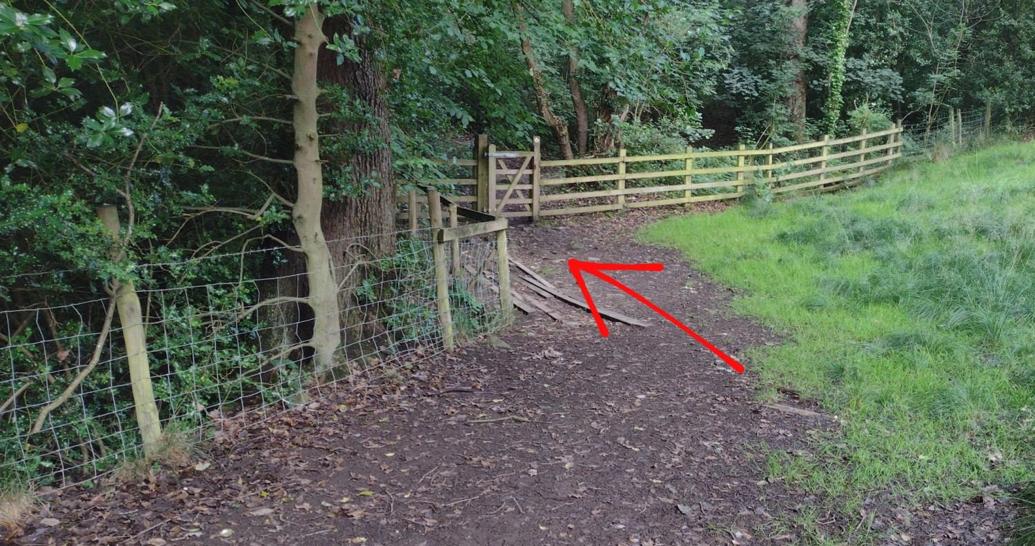
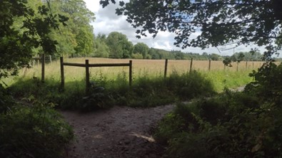
Step 7
Head across to the fence and woodland on the other side, then turn right to follow the fence until you reach a gate.
Step 9
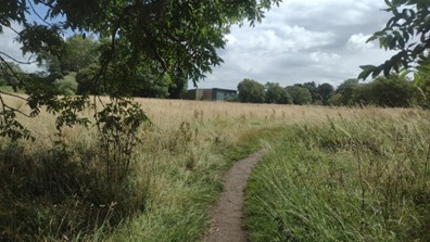
When you reach the corner of the field turn right to stay in the field and go up the hill.
Step 10
At the top of the field, go over the fence and keep on heading straight up through the next field.
Step 11
Head towards a large wooden gate at the top. Pass through this and keep heading straight up.
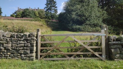
Step 12
Curve round to the right above a thicket of holly trees then straight on to a gap in the stone wall in the far top corner.

Step 13
Turn right on to the driveway, then right again on to Owler Park Road.
Step 14
Where Owler Park Road curves down to the right, keep going straight to follow the footpath.
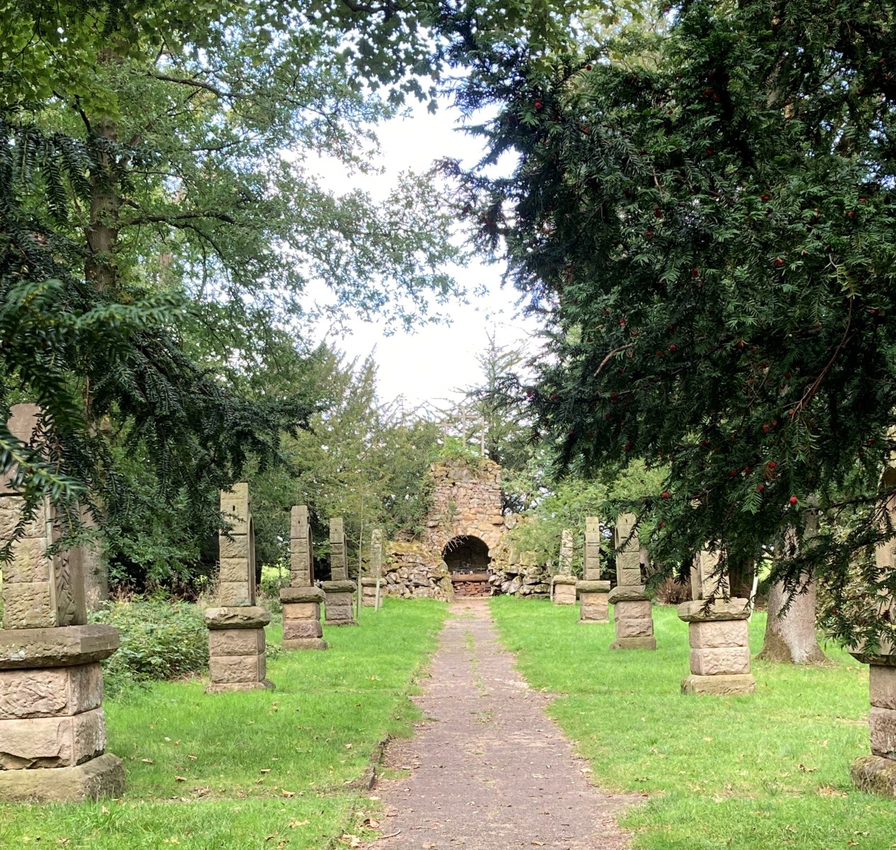
Step 15
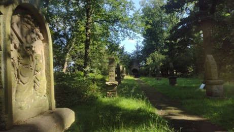
Then keep straight on to rejoin the rough driveway and keep going straight along this. You will reach the entrance to The Calvary on your left. Here you can go through the gate and take time to explore the stone carvings and grotto at the end.
Step 16
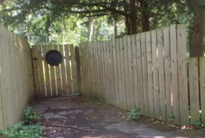
Back on the path, soon after the entrance to the Calvary, take a gate on your right to join a small footpath.
Step 18
When you see the entrance to Myddleton Lodge, stay on the road to turn left.
Step 19
Stay straight on to pass Myddleton Grange on your right and at the junction in the road, turn left to head uphill, then quickly right on to Hardings Lane.
Step 20
After you have passed The Hollies, take the footpath to the right and head diagonally left across the field, towards a large oak tree, then you will see a stile over the fence to take you into Middleton Woods.
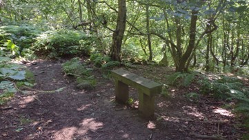
Step 22
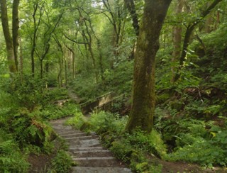
When you see a bench, turn right to go down some stone steps.
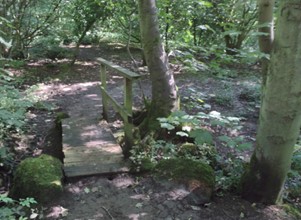
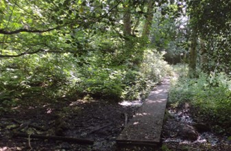
Step 23
Carry straight on to pass over a bridge, then turn right to pass over a section on boardwalk.
Step 25
Cross the road and turn left, then soon after take the footpath on the right to enter the woodland again.
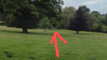
Step 26
This will bring you into the grounds of Ilkley Lido. Head to the car park then past the Lido on your left, then continue straight to Denton Road. Slightly to your left on the top of the moor you can see the Cow and Calf rocks.
Step 27
Carefully cross Denton Road then continue straight to take the footpath across the playing field then turn right when you reach the river again.
West Ilkley

WALK ROUTE
Circular walk
This glorious walk around the west of Ilkley offers you great variety. It takes you up onto the moors, through woods, across fields and along the River Wharfe. Get some sturdy walking boots on and get out there to enjoy the scenery.
- Accessibility: Mix of paved and unpaved paths. Some uneven surfaces, steep paths, footbridges and steps. Not suitable for wheelchairs and pushchairs.
- Points of Interest: St Margaret’s Church, Ilkley Moor, Panorama reservoir, Hebers Ghyll and Bracken Wood
- Dog friendly
- Child friendly, but with uneven surfaces in places
- Walking boots recommended. Paths can become slippy and some are uneven.
- Refreshments: We advise that you take refreshments with you (there are plenty of outlets in the centre of town)
- Parking: Ilkley town centre car park, Darwin Gardens car park, White Wells car park, some on street parking on Heber’s Ghyll Dr
- Toilets: We advise you use the facilities available before you set off. There are public toilets available in Ilkley town centre car park.
Step-by-step guide: West Ilkley Walk
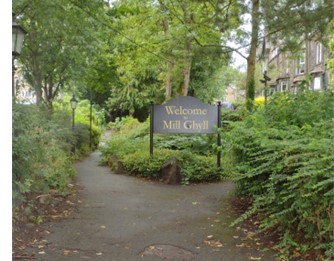
Step 1
Starting from the Grove at the top of Brook Street, head uphill taking the Mill Ghyll walk between the two roads of Wells Walk and Wells Promenade.
Step 4
Continue until you reach a footpath on the left and take this to go up the steps.
Step 5
To the left is a woodland with many paths you can explore, otherwise, stay on the path as it crosses over Princess Road to join more steps. You will see St Margaret's Church on your left.
Step 7
Passing through another metal gate, carry straight on towards some steps then turn right onto Westwood Drive and through the gate next to the cattlegrid.
Step 9
Go through the gate at the top of the path then take the grassy path to the right and turn right to join the Millennium Way footpath.
Step 13
Take the right fork through a metal gate signposted to Hebers Ghyll.
Step 14
Take a sharp right to head down the steps and continue on the path down through the woods to cross a footbridge. As you meander down through the woods, stay on the path to keep crossing the river on many footbridges.
Step 17
Continue straight towards Briory Wood Farm Cottage and take the entrance to the grassy path to the left just before you pass the houses.
Step 18
Climb over the stone steps and head right and down to go through a metal gate.

Step 19
With the wall to your right, go through the next metal gate.
Step 20
Head diagonally through the field to an electricity pole then carry straight on to head towards a very narrow gate in the middle of a section of stone wall.
Step 21
Go through this and head straight across the field towards a stone post, then a large metal gate.
Step 22
Join the tarmac road and turn right at the crossroads to head down the road. After less than 100 metres, look out for a narrow path on the right leaving to a gate.
Step 23
Keep to the top of the field, pass through a narrow stone entrance into the next field, then a waymarked gateway into the next field which will point you diagonally down through the next field.
Step 24
It's a bit tricky to spot the next narrow stone entrance that you are heading for. You'll see a long stretch of broken fencing ahead of you and you want to head to the bottom of this. In the bottom corner of the field you'll find the entrance in a small cluster of trees.
Step 25
Turn right and follow the top fence of the field until you pass a section of steam and another stone entrance in the top corner of the field.
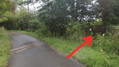
Step 27
Go over the wooden stile then carefully cross Skipton Road and turn left to walk along the pavement a short stretch and take the entrance on the right to Hall Croft caravan park. Take the left fork under the oak tree and immediately afterwards take the left to follow a footpath behind a large hedge.
Step 28
At the end of this path, cross over a small footbridge, then take a right to cross another bridge to take a path along the River Wharfe in the direction of Ilkley.
Step 29
Take the right fork to head away from the river.
Step 31
Keep straight to pass through another two metal gates then you'll see Ilkley Tennis Club ahead.
Step 32
Go through another metal gate then turn right when you get to the carpark to head away from the tennis club and carry straight on to rejoin the Dalesway footpath.
Step 33
When you reach the road, carry straight on to stay on the path alongside the river.
Step 35
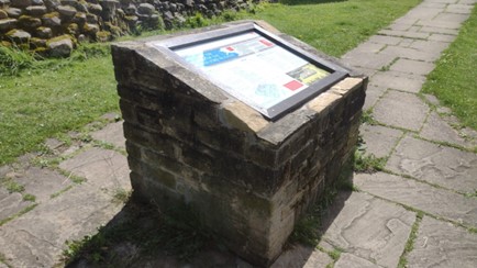
Take the left fork to keep the playground on your left, then after the playground take the path on the right to head up the hill, left when you join the road, then right to follow the stone slab path up to the information board about the Roman Fort.
Step 36
Shortly after this take the path to the left to go behind Ilkley Manor House.
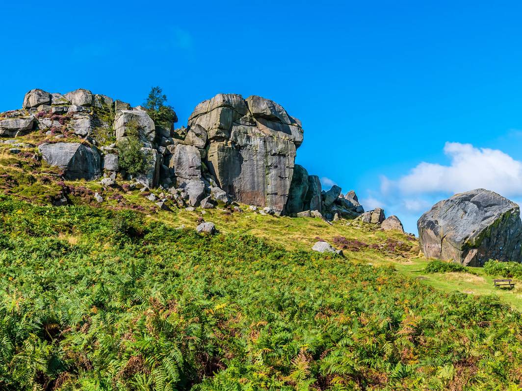
Ilkley Moor
WALK ROUTE
Circular walk
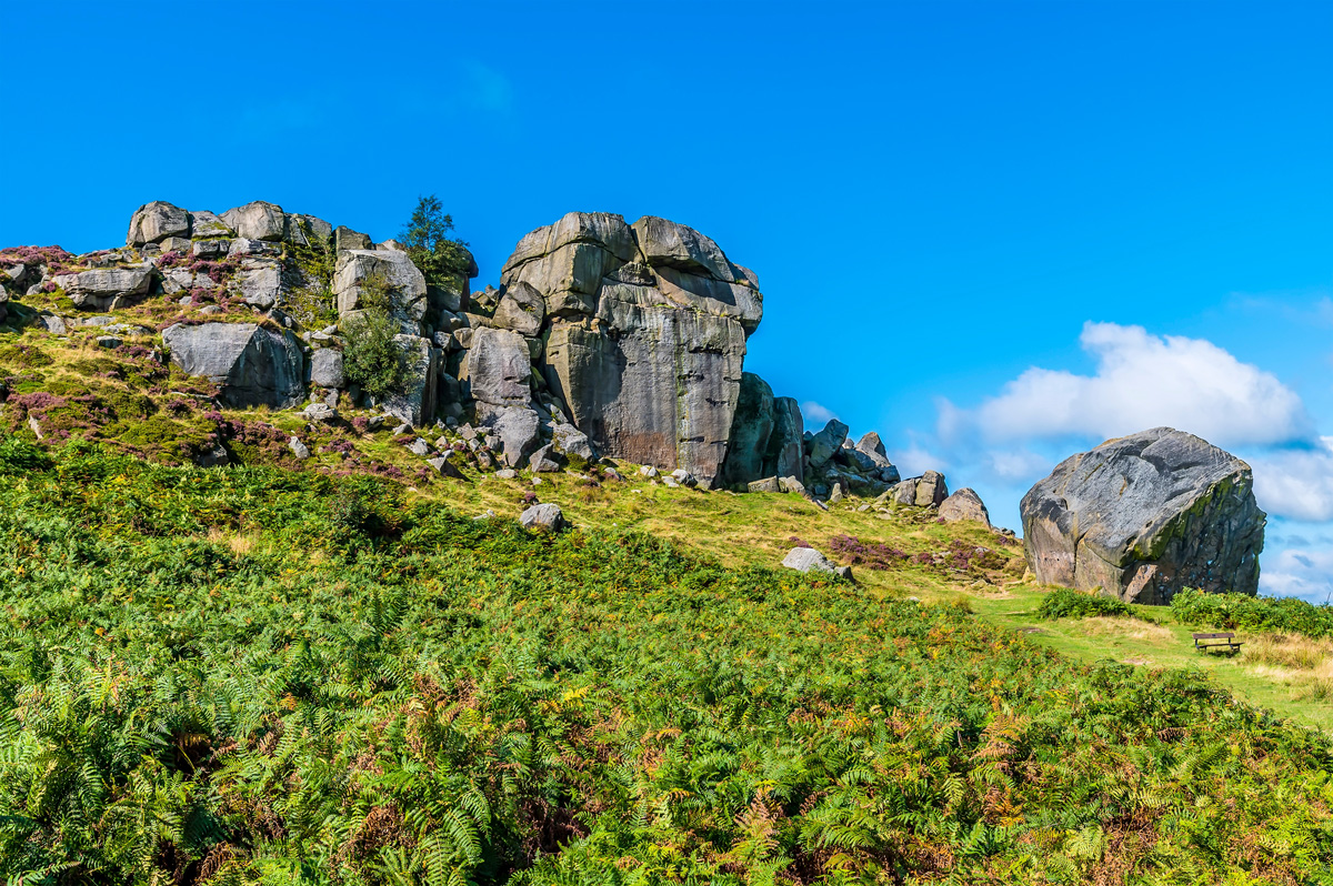
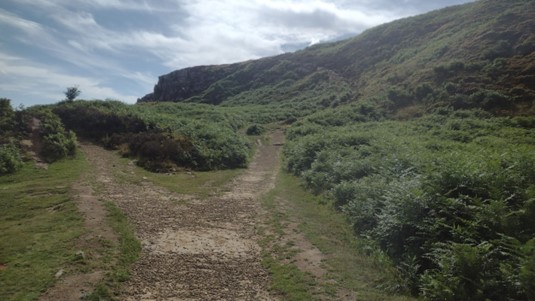
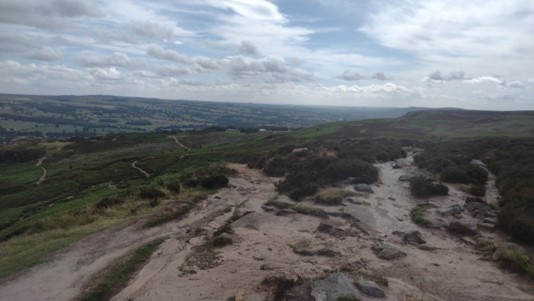
If you want breath-taking views of Ilkley while visiting some of the most salient attractions of the area then this is the walk for you. This walk starts at the beautiful Darwin Gardens and then takes you up into Ilkley Moor where you will stumble upon the White Wells and the Cow & Calf rocks with plenty of opportunity for refreshments and a sit down to take in those classic views of Ilkley and the moors. This is a walk that involves uneven terrain (though always on a designated path), so is not suitable for wheelchairs and prams.
- Accessibility: a combination of rough and paved surfaces and steps
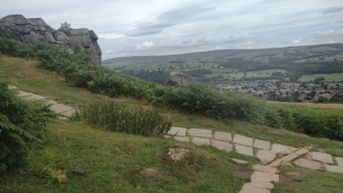
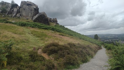
- Points of interest: White Wells, Cow & Calf, Darwin Gardens
- Dog friendly, but in the interest of conservation, owners should consider the dog walking guidelines outlined on the Ilkley Moor website.
- Child friendly, but some paths are uneven
- Walking boots recommended. Paths can become slippy and some are uneven.
- Refreshments: Cow & Calf Rock cafe open 7 days a week 9am-5pm, Cow & Calf pub open 7 days a week 7am-11pm, White Wells cafe occasionally open (when the flag is flying!)
- Parking: available at the Cow & Calf, Wells Road Car Park, Darwin Gardens car park and on road near Ilkley Grammar School.
- Toilets: available at the Cow & Calf cafe and pub
Step-by-step guide: Ilkley Moor walk, Ilkley
Step 1
Access point A, take the track on the right just after the entrance to Crossbeck Road and take the path on the right through the wooden gate.
Step 2
Walk past the paddling pool on your right and take the steps.
Step 4
Be sure to enjoy the view from the front of White Wells! Once you've caught your breath, take the steps to the left of White Wells.
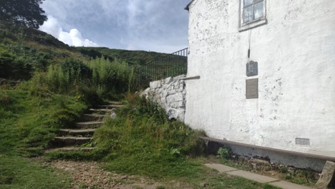
Step 5
Then slight right to take more steps behind the building. At the top there are benches with fantastic views - a great excuse to catch your breath again!
Step 6
Turn left to follow the gravel path and stay on this path as it twists and turns up the moor.
Take the right fork to the steep, rocky steps. Try to stay on these as you get higher to limit moorland erosion.
Step 8
Take the left fork to head down towards the buildings, the larger of which is the Cow and Calf Hotel.
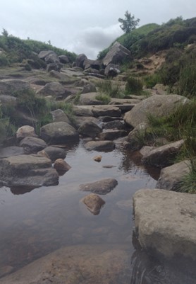
Step 9
Stay on the path and cross over the stream. A nice stop for a picnic and a paddle on hot day!
Step 10
Continue on the path until you reach another crossroads. At the crossroads you can divert left to explore the top of the Cow rocks, or continue straight to stay on the path.
Step 11
Winding down the stone slab path to reach the car park of the Cow and Calf Cafe, you can divert here to go to the smaller Calf rock, or left up to the quarry.
Step 12
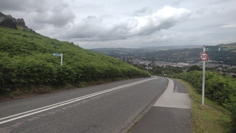
Passing the cafe on your left you'll reach Hangingstone Road. Take care as you cross the road to reach the pavement on the other side and walk down the hill. After a very short stretch on the pavement, cross over again carefully and take the footpath left up towards the Cow and Calf Rocks.
Step 13
Turn right to join a limestone path.
Step 14
Take the right fork and stay on this path all the way down until you reach the road again.
Step 15
Stay on the path as it goes alongside the road, up through a wooded area and continue.
Step 17
When you reach another junction in a wooded area, turn right to head towards some houses, then left.
Riverside Gardens
WALK ROUTE
Circular walk
The perfect genteel walk for all the family. This walk is especially perfect for children as there’s lots for them to see and do on the way from the newly built riverside playground, paddling in the river and playing on the pebble beaches to feeding ducks and even having a skate in the skatepark.
- Accessibility: Mainly even, paved surfaces. In wet weather, wheelchair users may want to use an alternative route along Denton Road to join the Suspension bridge. Wheelchair users will also need to veer to the left just before the steps to access the Old Bridge.
- Points of Interest: River Wharfe, skatepark, pebble beaches, Ilkley Lido, suspension bridge, Ilkley Cemetery, playground, gardens, Old Bridge Nursery
- Dog friendly
- Child friendly
- Refreshments: Riverside Hotel where you can eat at the restaurant or have fish ‘n’ chips and ice cream as a takeaway, two ice cream vans en route.
- Parking: Riverside Gardens car park, on-street parking on New Brook Street bridge, near the cemetery, Ilkley Wharfe View car park, and some spaces on the road near the nursery.
- Toilets: Public toilets by the Riverside Hotel.